Road condition · 4wd hv
Cooper Creek Ferry Crossing Access — 4wd / Hv
Flinders And Gammon Ranges Including North And South Of Barrier Highway
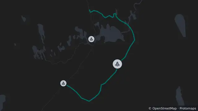
Map preview · about 20 KB · © OpenStreetMap
Condition: 4WD / HV
Road section: Cooper Creek Ferry Crossing Access
Road number: 11009
Extent: 0 to 46.56 km
Area: Flinders and Gammon Ranges including north and south of Barrier Highway
Comments: Caution at rough sections and creeks. No services or fuel at Mungeranie. Road is CLOSED north of Mungeranie.
- Location
- -28.6663, 138.7822
- Source
- Data © Government of South Australia (Department for Infrastructure and Transport). Refer to traffic.sa.gov.au for current conditions. · Attribution
OpenStreetMap Open on the full interactive mapSouth Australia warnings
Nearby
Road condition8.2 km away
Road condition8.2 km away