Bushfire · Not under control
Bushfire — Ranelagh
Ranelagh
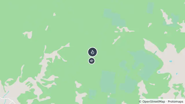
Map preview · about 20 KB · © OpenStreetMap
Fire · Burn areas
Published · Updated (7 hr ago)
Type: Bushfire
Status: Not Under Control
Address: FLETCHERS HILL, RANELAGH, 7109
Incident number: 042685-21102026
Burnt area: 307.6 ha
Called: 21 Oct 2026, 1:43 pm AEDT
Published: 21 Oct 2026, 1:47 pm AEDT
Updated: 25 Oct 2026, 9:59 pm AEDT
A fire continues to burn in the Fletchers Hill and Mount Misery areas. Burnt area is currently 307 hectares.
The fire is burning uncontained and is active under the current high fire conditions, Parks & Wildlife and Tasmania Fire Service crews are on site and working to bring the fire under control.
If there is any fire activity causing you concern, please report it to the Tasmania Fire Service by calling Triple Zero (000).
- Location
- -42.9688, 146.9861
- Source
- © Tasmanian Government. Source: TasALERT (alert.tas.gov.au). · Attribution
OpenStreetMap Open on the full interactive mapTasmania warnings
Nearby
Burn area0 m away
Burn area9.4 km away
Planned burn9.4 km away