
Life-threatening emergency? Call Triple Zero (000). · SES flood and storm help: 132 500

Updated · Reload· Theme: Auto · Light · Dark

Auto-refreshing every 5 minutes · Stop

Hazard

Hazard Landslide — Sneaths Road, Wollongbar

Sneaths Road Between Gilmore Close And Sproule Drive, Wollongbar
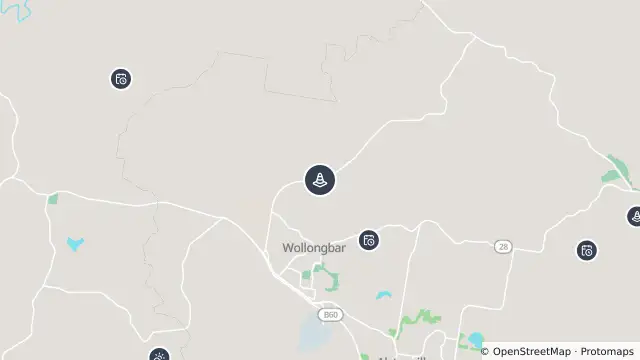
Map of Hazard Landslide — Sneaths Road, Wollongbar and nearby items

Map preview · about 20 KB · © OpenStreetMap

Roads · Power outages · Weather

Published · Updated (50 days ago)

Landslip. Proceed with caution. One lane open with traffic lights.

Location
-28.8083, 153.4231
Source
Data © Transport for NSW (Live Traffic NSW).

OpenStreetMap Open on the full interactive mapNew South Wales warnings

Nearby

  1. Planned outage1.2 km away

    Planned Power Outage — Incd-138276-R

    Details

  2. Planned outage2.7 km away

    Planned Power Outage — Incd-138205-R

    Details

  3. Planned outage3.6 km away

    Planned Power Outage — Incd-138220-R

    Details

  4. Planned outage3.8 km away

    Planned Power Outage — Incd-137961-R

    Details

  5. Adverse weather4.0 km away

    Adverse Weather Water Over Road — Lindendale Road, Lindendale

    Details

  6. Planned outage4.5 km away

    Planned Power Outage — Incd-138046-R

    Details

  7. Planned outage5.2 km away

    Planned Power Outage — Incd-138031-R

    Details

  8. Hazard5.3 km away

    Hazard Landslide — Teven Road, Teven

    Details

  9. Planned outage5.9 km away

    Planned Power Outage — Incd-137986-R

    Details

  10. Adverse weather5.9 km away

    Adverse Weather Water Over Road — Boundary Road, Rous

    Details