Queensland
Needs action
No Emergency Warnings or Watch and Act alerts right now.
Current items by layer
- Fire273 Advice
- Flood93No warnings
- Roads95No warnings+331 planned or other
- Power outages13No warnings+323 planned or other
- SharkSmart1 planned or otherNo warnings
- Other258No warnings
Some flood sources for Queensland aren't on this page yet, so this list may be incomplete
Some sharksmart sources for Queensland aren't on this page yet, so this list may be incomplete
Some other sources for Queensland aren't on this page yet, so this list may be incomplete
Nothing current for Burn areas or Earthquakes.
Live weather data for Queensland isn't available here yet
Live water supply data for Queensland isn't available here yet
Live algal blooms data for Queensland isn't available here yet
Live dams data for Queensland isn't available here yet
Other 258
Level: All levels · Emergency Warning · Watch and Act · Advice
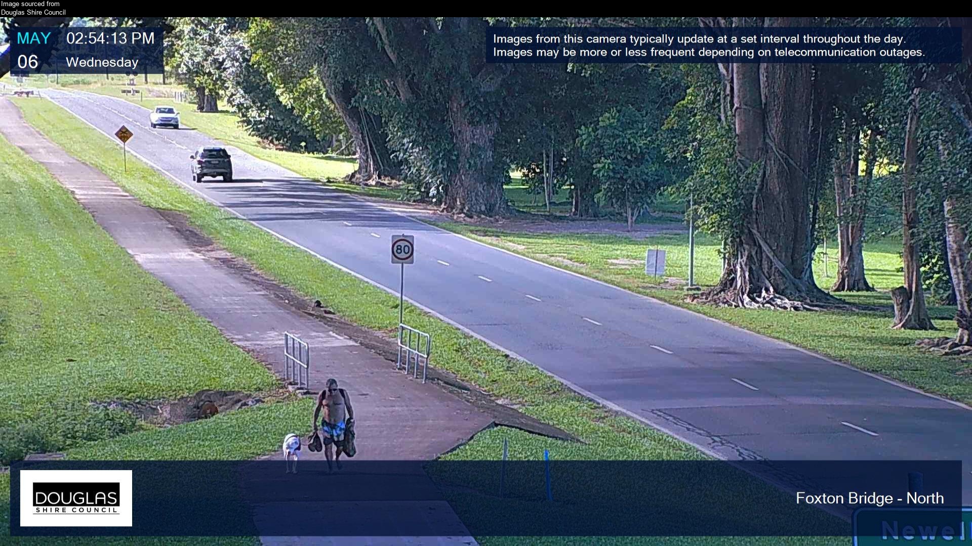
Flood cameraMossman - Mossman Daintree Road At Foxton Bridge - NorthQLD
Show map of Mossman - Mossman Daintree Road At Foxton Bridge - Northabout 20 KB · loads only when opened▾ Hide map
Map preview · about 20 KB · © OpenStreetMap
Camera: Flood camera location; does not indicate flooding Direction: North Location: Mossman Image supplied by: Douglas Shire Council View camera image
-16.4516, 145.3717
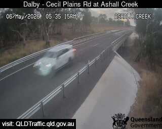
Flood cameraSt Ruth - Dalby - Cecil Plains Road At Ashall CreekQLD
Show map of St Ruth - Dalby - Cecil Plains Road At Ashall Creekabout 20 KB · loads only when opened▾ Hide map
Map preview · about 20 KB · © OpenStreetMap
Camera: Flood camera location; does not indicate flooding Direction: North Location: St Ruth Information: New images available every 30 minutes. Images between 6pm and 6am may be of reduced quality…
-27.3915, 151.2694
Details OpenStreetMap Source (State of Queensland (Department of Transport and Main Roads))
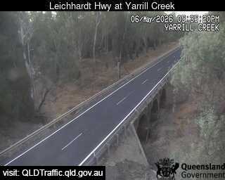
Flood cameraGoondiwindi - Leichhardt Highway At Yarrill CreekQLD
Show map of Goondiwindi - Leichhardt Highway At Yarrill Creekabout 20 KB · loads only when opened▾ Hide map
Map preview · about 20 KB · © OpenStreetMap
Camera: Flood camera location; does not indicate flooding Direction: North Location: Goondiwindi Information: New images available every 30 minutes. Images between 6pm and 6am may be of reduced…
-28.2995, 150.2952
Details OpenStreetMap Source (State of Queensland (Department of Transport and Main Roads))
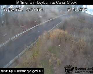
Flood cameraTummaville - Millmerran - Leyburn Road At Canal CreekQLD
Show map of Tummaville - Millmerran - Leyburn Road At Canal Creekabout 20 KB · loads only when opened▾ Hide map
Map preview · about 20 KB · © OpenStreetMap
Camera: Flood camera location; does not indicate flooding Direction: South Location: Tummaville Information: New images available every 30 minutes. Images between 6pm and 6am may be of reduced…
-27.9081, 151.5507
Details OpenStreetMap Source (State of Queensland (Department of Transport and Main Roads))
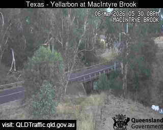
Flood cameraGoondiwindi - Texas - Yelarbon Highway At Macintyre BrookQLD
Show map of Goondiwindi - Texas - Yelarbon Highway At Macintyre Brookabout 20 KB · loads only when opened▾ Hide map
Map preview · about 20 KB · © OpenStreetMap
Camera: Flood camera location; does not indicate flooding Direction: South Location: Goondiwindi Information: New images available every 30 minutes. Images between 6pm and 6am may be of reduced…
-28.5865, 150.8040
Details OpenStreetMap Source (State of Queensland (Department of Transport and Main Roads))
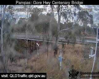
Flood cameraPampas - Gore Highway At Centenary BridgeQLD
Show map of Pampas - Gore Highway At Centenary Bridgeabout 20 KB · loads only when opened▾ Hide map
Map preview · about 20 KB · © OpenStreetMap
Camera: Flood camera location; does not indicate flooding Direction: West Location: Pampas Information: New images available every 30 minutes. Images between 6pm and 6am may be of reduced quality…
-27.8086, 151.3632
Details OpenStreetMap Source (State of Queensland (Department of Transport and Main Roads))
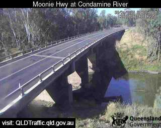
Flood cameraDalby - Moonie Highway At Condamine RiverQLD
Show map of Dalby - Moonie Highway At Condamine Riverabout 20 KB · loads only when opened▾ Hide map
Map preview · about 20 KB · © OpenStreetMap
Camera: Flood camera location; does not indicate flooding Direction: West Location: Dalby Information: New images available every 30 minutes. Images between 6pm and 6am may be of reduced quality View…
-27.2189, 151.1850
Details OpenStreetMap Source (State of Queensland (Department of Transport and Main Roads))
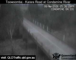
Flood cameraEllangowan - Toowoomba Karara Road At Condamine RiverQLD
Show map of Ellangowan - Toowoomba Karara Road At Condamine Riverabout 20 KB · loads only when opened▾ Hide map
Map preview · about 20 KB · © OpenStreetMap
Camera: Flood camera location; does not indicate flooding Direction: South Location: Ellangowan Information: New images available every 30 minutes. Images between 6pm and 6am may be of reduced…
-27.9213, 151.6746
Details OpenStreetMap Source (State of Queensland (Department of Transport and Main Roads))
Flood cameraWhetstone - Cunningham Highway At Macintyre BrookQLD
Show map of Whetstone - Cunningham Highway At Macintyre Brookabout 20 KB · loads only when opened▾ Hide map
Map preview · about 20 KB · © OpenStreetMap
Camera: Flood camera location; does not indicate flooding Direction: South Location: Whetstone Information: New images available every 30 minutes. Images between 6pm and 6am may be of reduced quality…
-28.5014, 150.9405
Details OpenStreetMap Source (State of Queensland (Department of Transport and Main Roads))
Flood cameraWestmar - Meandarra Talwood Road At Moonie RiverQLD
Show map of Westmar - Meandarra Talwood Road At Moonie Riverabout 20 KB · loads only when opened▾ Hide map
Map preview · about 20 KB · © OpenStreetMap
Camera: Flood camera location; does not indicate flooding Direction: South Location: Westmar Information: New images available every 30 minutes. Images between 6pm and 6am may be of reduced quality…
-27.8204, 149.7207
Details OpenStreetMap Source (State of Queensland (Department of Transport and Main Roads))
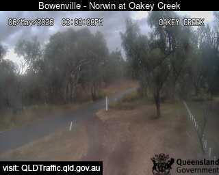
Flood cameraWainui - Bowenville Norwin Road At Oakey CreekQLD
Show map of Wainui - Bowenville Norwin Road At Oakey Creekabout 20 KB · loads only when opened▾ Hide map
Map preview · about 20 KB · © OpenStreetMap
Camera: Flood camera location; does not indicate flooding Direction: North Location: Wainui Information: New images available every 30 minutes. Images between 6pm and 6am may be of reduced quality…
-27.3267, 151.4545
Details OpenStreetMap Source (State of Queensland (Department of Transport and Main Roads))
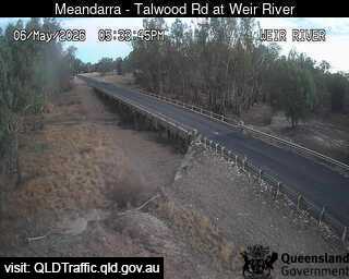
Flood cameraBungunya - Meandarra-Talwood Road At Weir RiverQLD
Show map of Bungunya - Meandarra-Talwood Road At Weir Riverabout 20 KB · loads only when opened▾ Hide map
Map preview · about 20 KB · © OpenStreetMap
Camera: Flood camera location; does not indicate flooding Direction: South Location: Bungunya Information: New images available every 30 minutes. Images between 6pm and 6am may be of reduced quality…
-28.3819, 149.6766
Details OpenStreetMap Source (State of Queensland (Department of Transport and Main Roads))
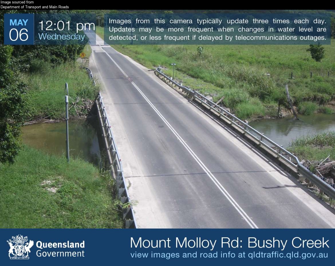
Flood cameraJulatten - Mossman Mount Molloy Road At Bushy CreekQLD
Show map of Julatten - Mossman Mount Molloy Road At Bushy Creekabout 20 KB · loads only when opened▾ Hide map
Map preview · about 20 KB · © OpenStreetMap
Camera: Flood camera location; does not indicate flooding Direction: West Location: Julatten Image supplied by: Department of Transport and Main Roads View camera image
-16.6095, 145.3358
Details OpenStreetMap Source (Department of Transport and Main Roads)
Flood cameraArcher River - Peninsula Developmental Road At Archer RiverQLD
Show map of Archer River - Peninsula Developmental Road At Archer Riverabout 20 KB · loads only when opened▾ Hide map
Map preview · about 20 KB · © OpenStreetMap
Camera: Flood camera location; does not indicate flooding Direction: South Location: Archer River Image supplied by: Department of Transport and Main Roads View camera image
-13.4338, 142.9460
Details OpenStreetMap Source (Department of Transport and Main Roads)
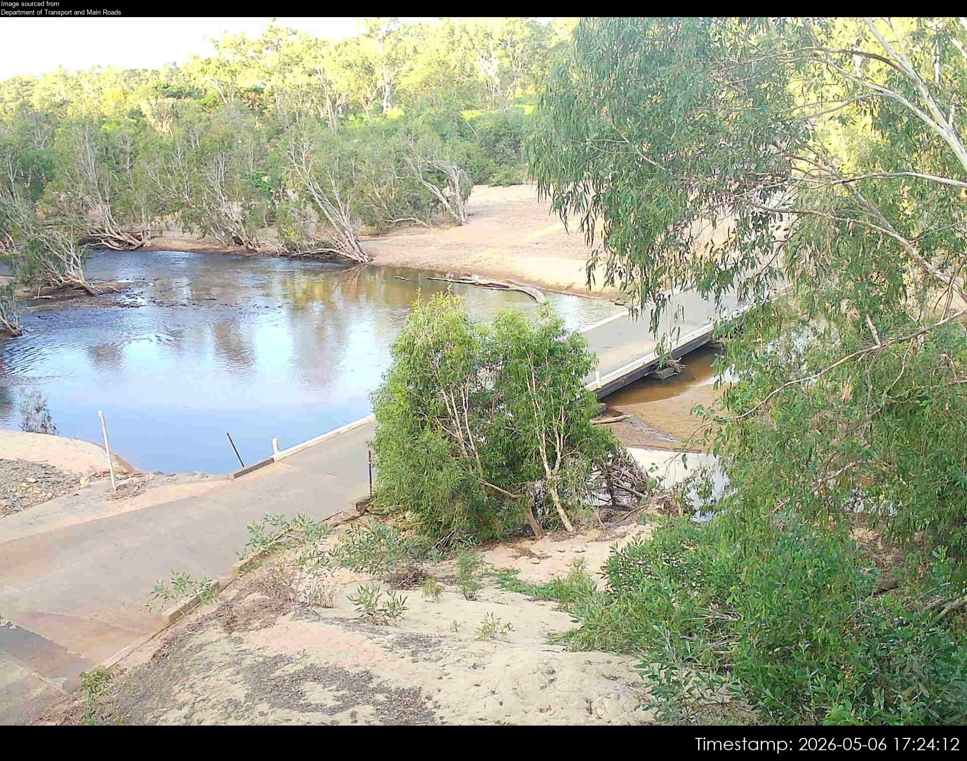
Flood cameraLaura - Peninsula Developmental Rd At Laura River - East - 4892QLD
Show map of Laura - Peninsula Developmental Rd At Laura River - East - 4892about 20 KB · loads only when opened▾ Hide map
Map preview · about 20 KB · © OpenStreetMap
Camera: Flood camera location; does not indicate flooding Direction: North Location: Laura Image supplied by: Department of Transport and Main Roads View camera image
-15.5551, 144.4371
Details OpenStreetMap Source (Department of Transport and Main Roads)
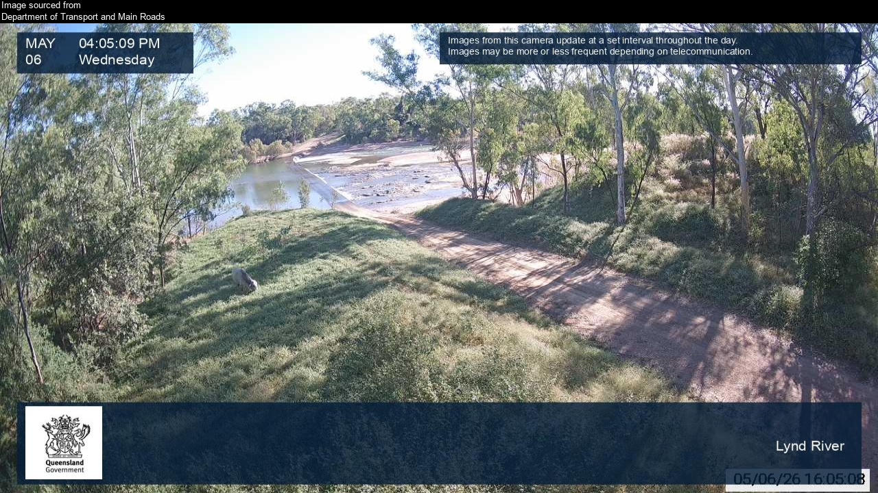
Flood cameraGamboola - Burke Developmental Road At Lynd RiverQLD
Show map of Gamboola - Burke Developmental Road At Lynd Riverabout 20 KB · loads only when opened▾ Hide map
Map preview · about 20 KB · © OpenStreetMap
Camera: Flood camera location; does not indicate flooding Direction: West Location: Gamboola Image supplied by: Department of Transport and Main Roads View camera image
-16.4695, 143.3112
Details OpenStreetMap Source (Department of Transport and Main Roads)
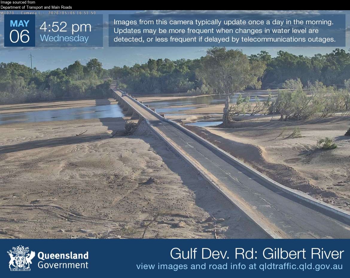
Flood cameraGilbert River - Gulf Developmental Road At Gilbert River BridgeQLD
Show map of Gilbert River - Gulf Developmental Road At Gilbert River Bridgeabout 20 KB · loads only when opened▾ Hide map
Map preview · about 20 KB · © OpenStreetMap
Camera: Flood camera location; does not indicate flooding Direction: East Location: Gilbert River Image supplied by: Department of Transport and Main Roads View camera image
-18.2008, 142.8743
Details OpenStreetMap Source (Department of Transport and Main Roads)
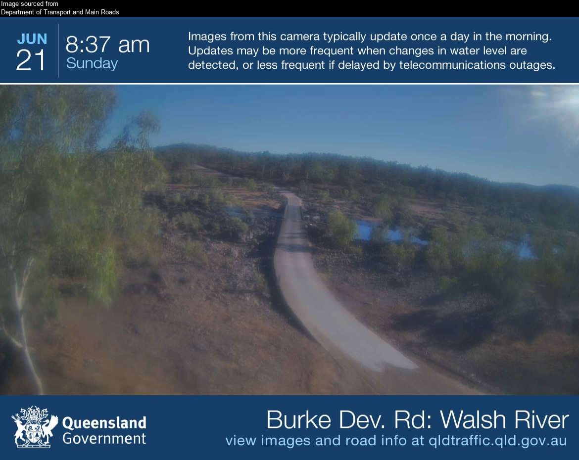
Flood cameraRookwood - Burke Developmental Road At Walsh River Ferguson's CrossingQLD
Show map of Rookwood - Burke Developmental Road At Walsh River Ferguson's Crossingabout 20 KB · loads only when opened▾ Hide map
Map preview · about 20 KB · © OpenStreetMap
Camera: Flood camera location; does not indicate flooding Direction: North Location: Rookwood Image supplied by: Department of Transport and Main Roads View camera image
-16.9922, 144.2979
Details OpenStreetMap Source (Department of Transport and Main Roads)
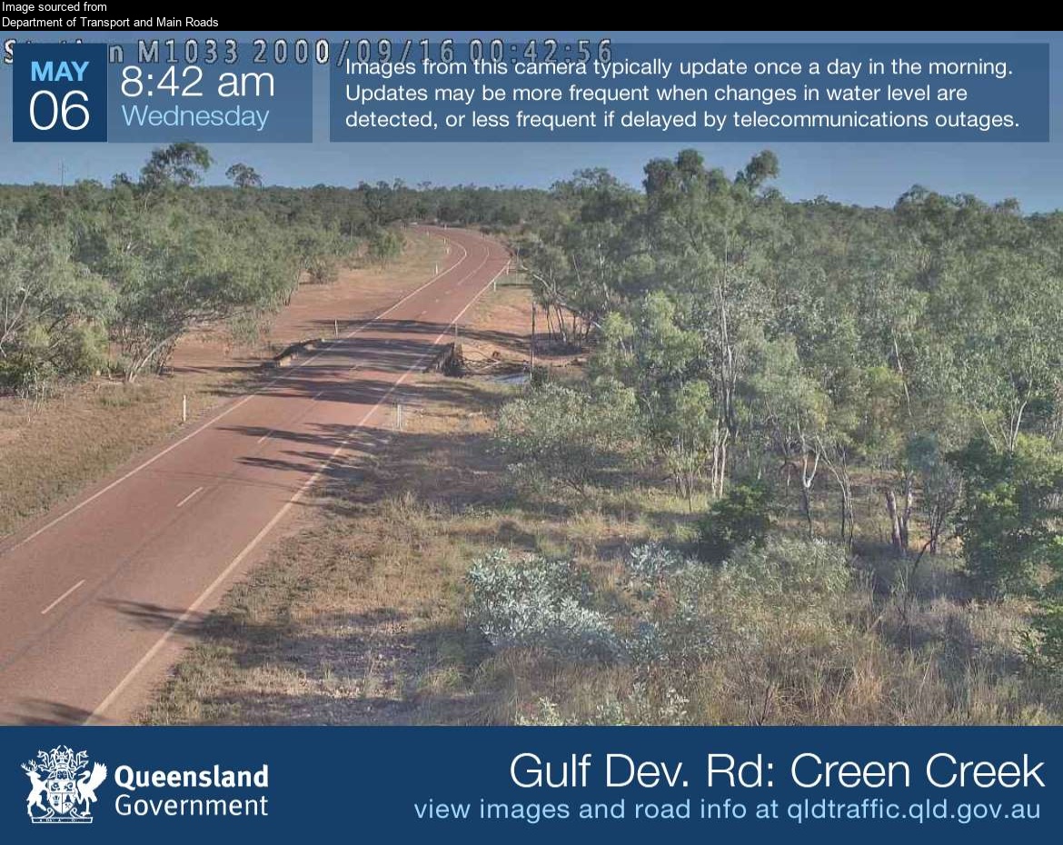
Flood cameraCroydon - Gulf Developmental Road At Creen CreekQLD
Show map of Croydon - Gulf Developmental Road At Creen Creekabout 20 KB · loads only when opened▾ Hide map
Map preview · about 20 KB · © OpenStreetMap
Camera: Flood camera location; does not indicate flooding Direction: West Location: Croydon Image supplied by: Department of Transport and Main Roads View camera image
-18.0451, 142.0105
Details OpenStreetMap Source (Department of Transport and Main Roads)
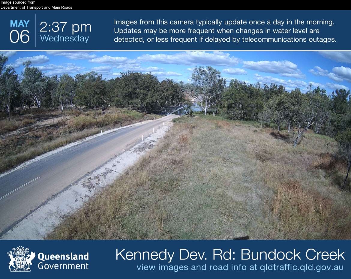
Flood cameraLyndhurst - Kennedy Developmental Road At Bundock CreekQLD
Show map of Lyndhurst - Kennedy Developmental Road At Bundock Creekabout 20 KB · loads only when opened▾ Hide map
Map preview · about 20 KB · © OpenStreetMap
Camera: Flood camera location; does not indicate flooding Direction: East Location: Lyndhurst Image supplied by: Department of Transport and Main Roads View camera image
-19.1720, 144.4412
Details OpenStreetMap Source (Department of Transport and Main Roads)
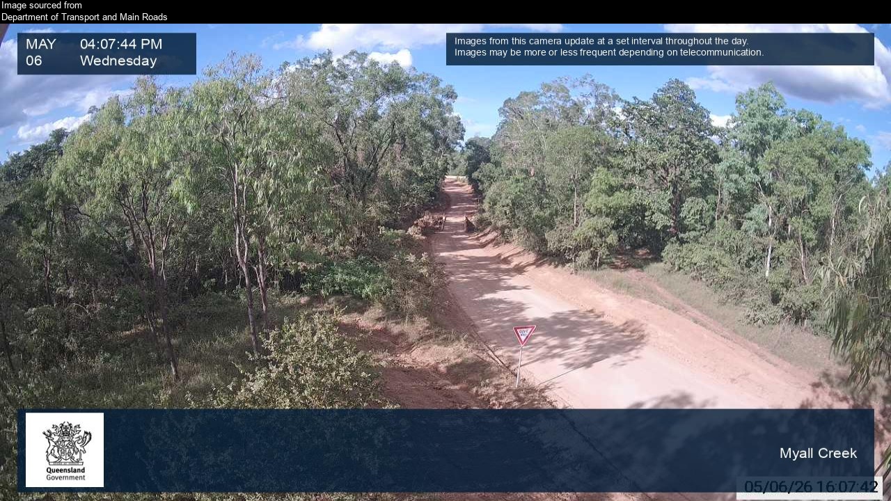
Flood cameraMission River - Peninsula Developmental Road At Myall CreekQLD
Show map of Mission River - Peninsula Developmental Road At Myall Creekabout 20 KB · loads only when opened▾ Hide map
Map preview · about 20 KB · © OpenStreetMap
Camera: Flood camera location; does not indicate flooding Direction: East Location: Mission River Image supplied by: Department of Transport and Main Roads View camera image
-12.6539, 142.2699
Details OpenStreetMap Source (Department of Transport and Main Roads)
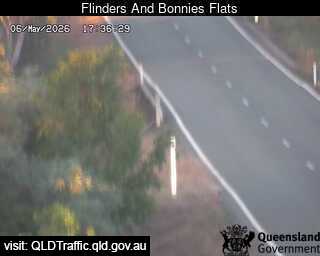
Flood cameraCampaspe - Flinders Highway At Bonnies Flats - EastCapaspe · QLD
Show map of Campaspe - Flinders Highway At Bonnies Flats - Eastabout 20 KB · loads only when opened▾ Hide map
Map preview · about 20 KB · © OpenStreetMap
Camera: Flood camera location; does not indicate flooding Direction: East Location: Capaspe Information: New images available every 30 minutes between 6am and 6pm. View camera image
-20.2323, 145.8747
Details OpenStreetMap Source (State of Queensland (Department of Transport and Main Roads))
Flood cameraHomestead - Flinders Highway At Shovel Creek - WestQLD
Show map of Homestead - Flinders Highway At Shovel Creek - Westabout 20 KB · loads only when opened▾ Hide map
Map preview · about 20 KB · © OpenStreetMap
Camera: Flood camera location; does not indicate flooding Direction: West Location: Homestead Information: New images available every 30 minutes between 6am and 6pm. View camera image
-20.3228, 145.7095
Details OpenStreetMap Source (State of Queensland (Department of Transport and Main Roads))
Flood cameraBarratta - Bruce Highway At Barratta Creek East - EastQLD
Show map of Barratta - Bruce Highway At Barratta Creek East - Eastabout 20 KB · loads only when opened▾ Hide map
Map preview · about 20 KB · © OpenStreetMap
Camera: Flood camera location; does not indicate flooding Direction: East Location: Barratta Information: New images available every 30 minutes between 6am and 6pm. View camera image
-19.5671, 147.2287
Details OpenStreetMap Source (State of Queensland (Department of Transport and Main Roads))
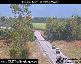
Flood cameraBarratta - Bruce Highway At Barratta Creek West - WestQLD
Show map of Barratta - Bruce Highway At Barratta Creek West - Westabout 20 KB · loads only when opened▾ Hide map
Map preview · about 20 KB · © OpenStreetMap
Camera: Flood camera location; does not indicate flooding Direction: West Location: Barratta Information: New images available every 30 minutes between 6am and 6pm. View camera image
-19.5687, 147.2109
Details OpenStreetMap Source (State of Queensland (Department of Transport and Main Roads))