Burpengary · suburb
Needs action
No Emergency Warnings or Watch and Act alerts right now.
Show map of Burpengaryabout 20 KB · loads only when opened▾ Hide map
Map preview · about 20 KB · © OpenStreetMap
Current items by layer
Some other sources for Queensland aren't on this page yet, so this list may be incomplete
Nothing current for Fire, Burn areas, Earthquakes or Power outages.
Live flood data for Queensland isn't available here yet
Live weather data for Queensland isn't available here yet
Live water supply data for Queensland isn't available here yet
Live algal blooms data for Queensland isn't available here yet
Live dams data for Queensland isn't available here yet
Live sharksmart data for Queensland isn't available here yet
Other 2
Level: All levels · Emergency Warning · Watch and Act · Advice
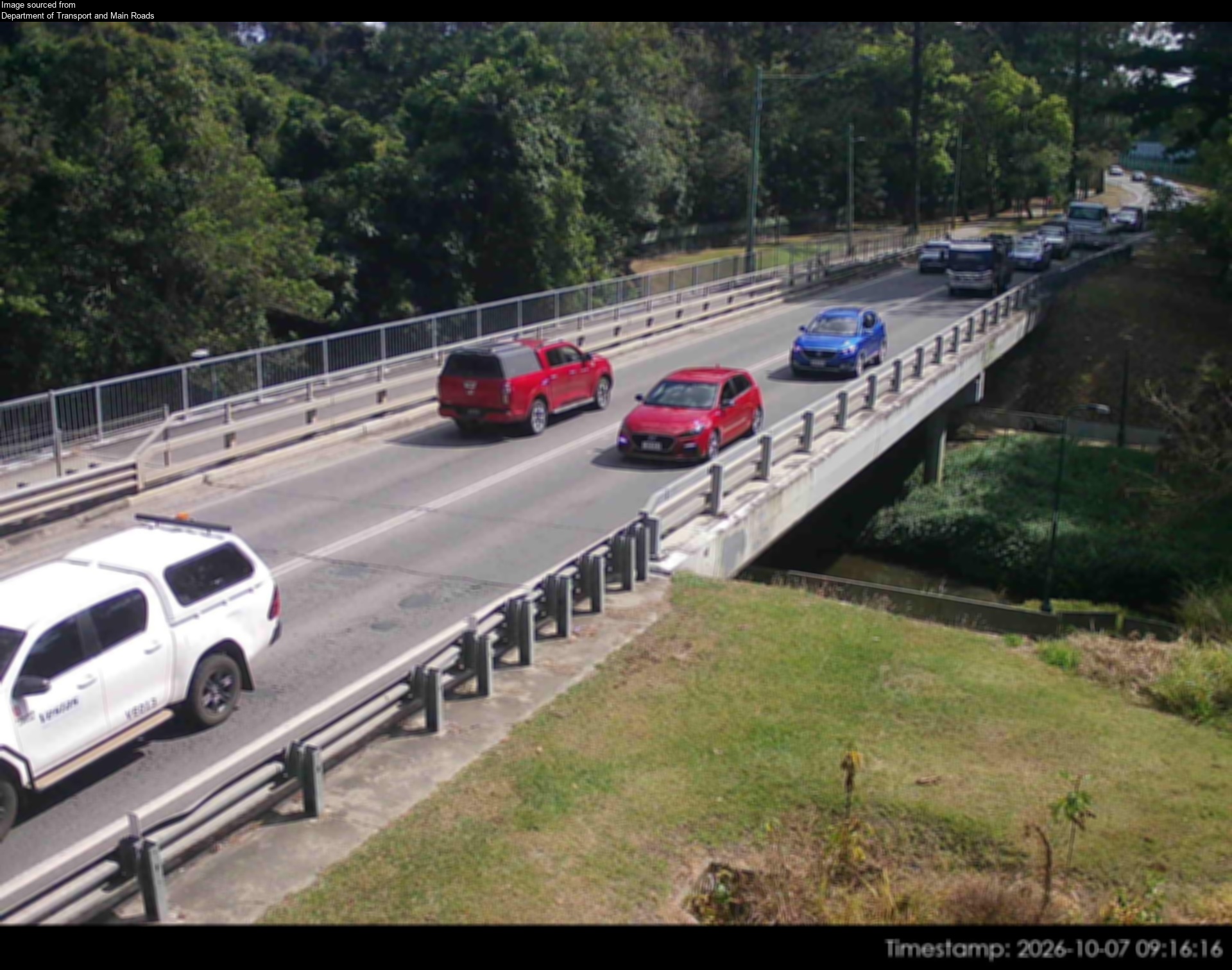
Flood cameraBurpengary - Burpengary Service Road/ Old Gympie Road At Burpengary CreekQLD
Show map of Burpengary - Burpengary Service Road/ Old Gympie Road At Burpengary Creekabout 20 KB · loads only when opened▾ Hide map
Map preview · about 20 KB · © OpenStreetMap
Camera: Flood camera location; does not indicate flooding Direction: North Location: Burpengary Information: New images available every 30 minutes between 6am and 6pm. Image supplied by: Department…
-27.1524, 152.9769
Details OpenStreetMap Source (Department of Transport and Main Roads)
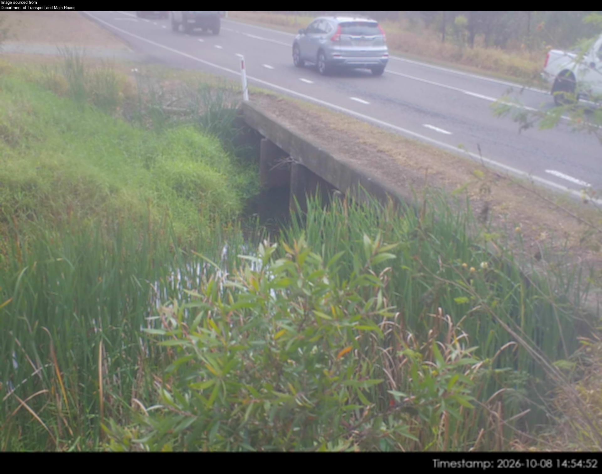
Flood cameraBurpengary - Burpengary Service Road/ Old Gympie Road At Little Burpengary CreekQLD
Show map of Burpengary - Burpengary Service Road/ Old Gympie Road At Little Burpengary Creekabout 20 KB · loads only when opened▾ Hide map
Map preview · about 20 KB · © OpenStreetMap
Camera: Flood camera location; does not indicate flooding Direction: North Location: Burpengary Information: New images available every 30 minutes between 6am and 6pm Image supplied by: Department of…
-27.1744, 152.9813
Details OpenStreetMap Source (Department of Transport and Main Roads)
Also in
Council areas: Moreton Bay
Postcodes: 4505