
Life-threatening emergency? Call Triple Zero (000). · SES flood and storm help: 132 500

Updated · Reload· Auto-refresh every 5 min· Theme: Auto · Light · Dark

Planned outage

Planned Power Outage — Newcastle, Newcastle East

Newcastle, Newcastle East
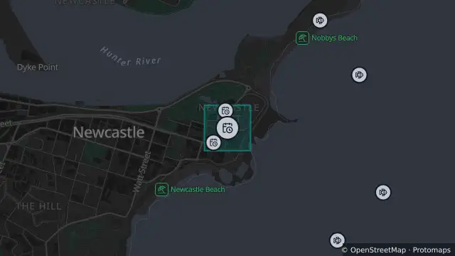
Map of Planned Power Outage — Newcastle, Newcastle East and nearby items

Map preview · about 20 KB · © OpenStreetMap

Power outages · SharkSmart

Updated (21 days ago)

Planned

connecting power to a home or business nearby

67 customers affected

Estimated restoration: 12 Nov, 3:30 pm AEDT

Location
-32.9270, 151.7899
Source
Data © Ausgrid. For current outage information refer to Ausgrid. 

OpenStreetMap Open on the full interactive mapNew South Wales warnings

Nearby

  1. Planned outage35 m away

    Planned Power Outage — Newcastle, Newcastle East

    Details

  2. Smart drumline747 m away

    Smart Drumline Location — Newcastle Beach

    Details

  3. Shark net747 m away

    Shark Net Location — Newcastle Beach

    Details

  4. Tagged shark receiver747 m away

    Tagged Shark Receiver — Newcastle Beach

    Details

  5. Drone surveillance779 m away

    Drone Surveillance Location — Nobbys Beach

    Details

  6. Drone surveillance799 m away

    Drone Surveillance Location — Nobbys Reef

    Details

  7. Drone surveillance802 m away

    Drone Surveillance Location — Nobby

    Details

  8. Smart drumline802 m away

    Smart Drumline Location — Nobby

    Details

  9. Smart drumline886 m away

    Smart Drumline Location — Newcastle

    Details

  10. Smart drumline951 m away

    Smart Drumline Location — Nobbys

    Details