Bushfire
Bushfire — Kununurra, Shire Of Wyndham-East Kimberley
Kununurra, Shire Of Wyndham-East Kimberley
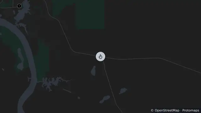
Map preview · about 20 KB · © OpenStreetMap
Published ·
Incident type: Bushfire
Location: KUNUNURRA, SHIRE OF WYNDHAM-EAST KIMBERLEY
Region: KIMBERLEY
Incident number: 825413
Published: 21 Oct 2026, 5:31 pm AWST
- Location
- -15.8168, 128.7888
- Source
- © State of Western Australia acting through the Department of Fire and Emergency Services. For current information go to www.emergency.wa.gov.au. · Attribution
OpenStreetMap Open on the full interactive mapWestern Australia warnings
Nearby
AdviceBushfire0 m away