AdviceBushfire
Bushfire Advice Threat Is Reduced - Waterbank
Kimberley
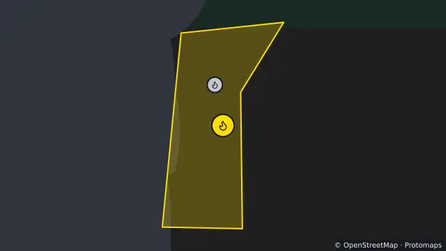
Map preview · about 20 KB · © OpenStreetMap
Published ·
Alert level: Bushfire Advice
Event: Bushfire
Region: KIMBERLEY
Agency: Department of Fire and Emergency Services (DFES)
Issued: 21 Oct 2026, 2:47 pm AWST
A Bushfire Advice is in place for people travelling along Manari Road in WATERBANK in the SHIRE OF BROOME.
- The threat of the fire has reduced however you should take care in the area.
- Stay alert for potential dangers such as smoke and fallen trees and power poles.
- If you do not have a plan, make one now on Emergency WA [https://emergency.wa.gov.au/plan], or in the Emergency WA app [https://emergency.wa.gov.au/app/plan] to stay safe in future emergencies.
- Location
- -17.3826, 122.1672
- Source
- © State of Western Australia acting through the Department of Fire and Emergency Services. For current information go to www.emergency.wa.gov.au. · Attribution
OpenStreetMapOpen on the full interactive mapWestern Australia warnings
Nearby
Bushfire1.2 km away