AdviceBushfire
Bushfire Advice Monitor Conditions - Gibb
Kimberley
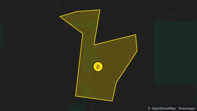
Map preview · about 20 KB · © OpenStreetMap
Published ·
Alert level: Bushfire Advice
Event: Bushfire
Region: KIMBERLEY
Agency: Department of Fire and Emergency Services (DFES)
Issued: 25 Oct 2026, 10:22 am AWST
A Bushfire Advice is in place for people travelling along Gibb River Road in the vicinity of Kennedy Creek, in GIBB in the SHIRE OF WYNDHAM-EAST KIMBERLEY.
- Stay alert and monitor your surroundings.
- Read through your plan and decide what you will do if the situation gets worse. If you do not have a plan, make one now on Emergency WA [https://emergency.wa.gov.au/plan], or in the Emergency WA app [https://emergency.wa.gov.au/app/plan].
- Watch for signs of a bushfire, especially smoke and flames.
- Close all doors and windows, and turn off evaporative air conditioners but keep water running through the system if possible.
- If you have a respiratory condition and you have been affected by smoke you should contact your local doctor or call 1800MEDICARE (1800 633 422 [tel:1800633422]).
If driving
- Turn your headlights on and drive slowly.
- Watch for emergency services personnel and follow their directions.
- If you cannot see clearly, pull over, keep your headlights and hazard lights on, and wait until the smoke clears.
- Location
- -16.2433, 126.5060
- Source
- © State of Western Australia acting through the Department of Fire and Emergency Services. For current information go to www.emergency.wa.gov.au. · Attribution
OpenStreetMap Open on the full interactive mapWestern Australia warnings