Planned outage
Planned Power Outage — Wollongong
Wollongong
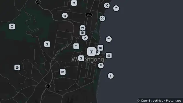
Map preview · about 20 KB · © OpenStreetMap
Power outages · SharkSmart · Roads
SUBMITTED · 15 premises affected · Estimated restoration: 6 Nov, 4:00 pm AEDT
- Location
- -34.4197, 150.8965
- Source
- Data © Endeavour Energy. For current outage information refer to Endeavour Energy.
OpenStreetMap Open on the full interactive mapNew South Wales warnings
Nearby
Drone surveillance322 m away
Shark net322 m away
Planned outage501 m away
Planned outage530 m away
Planned outage550 m away
Traffic camera844 m away
Monitoring station894 m away
Planned outage923 m away
Special event925 m away
Wheelchair Rugby League World Cup — Harbour Street, Wollongong
Scheduled roadwork929 m away
Scheduled Roadwork — Harbour Street, Burelli Street And Crown Street, Wollongong