Monitoring station · Good
Point Cook
Central
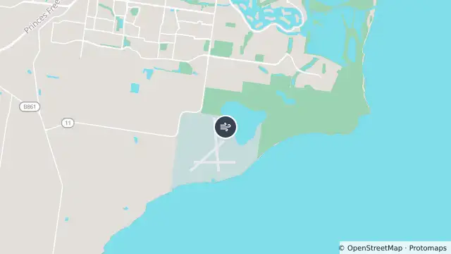
Map preview · about 20 KB · © OpenStreetMap
Updated (59 min ago)
Air quality: Good
Site type: Standard
Reporting period: 2026-10-25T15:00:00Z to 2026-10-25T16:00:00Z
O3: 13 ppb
PM2.5 (1HR_AV), 2026-10-25T15:00:00Z to 2026-10-25T16:00:00Z: unavailable ; No data
PM2.5 (24HR_AV), 2026-10-24T16:00:00Z to 2026-10-25T16:00:00Z: 3.3 µg/m³; Good
O3 (1HR_AV), 2026-10-25T15:00:00Z to 2026-10-25T16:00:00Z: 13 ppb; Good
Visibility (1HR_AV), 2026-10-25T15:00:00Z to 2026-10-25T16:00:00Z: unavailable ; No data
- Location
- -37.9263, 144.7567
- Source
- © Copyright State Government of Victoria — EPA Victoria (adapted)
OpenStreetMap Open on the full interactive mapVictoria warnings
Nearby
Water quality alert5.9 km away
Water quality forecast7.8 km away
Building fire8.1 km away
Water quality forecast9.0 km away