Monitoring station · Unavailable
Lancefield
Central
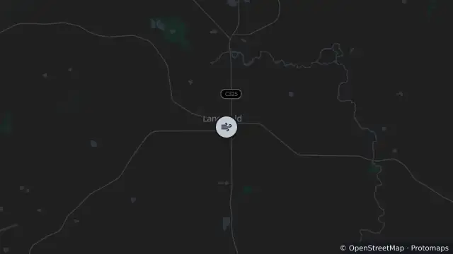
Map preview · about 20 KB · © OpenStreetMap
Updated (58 min ago)
Air quality: No data
Site type: Sensor
Reporting period: 2026-10-25T15:00:00Z to 2026-10-25T16:00:00Z
Reading unavailable
Particles (1HR_AV), 2026-10-25T15:00:00Z to 2026-10-25T16:00:00Z: unavailable ; No data
Particles (24HR_AV), 2026-10-24T16:00:00Z to 2026-10-25T16:00:00Z: 5 µg/m³; Good
- Location
- -37.2783, 144.7353
- Source
- © Copyright State Government of Victoria — EPA Victoria (adapted)
OpenStreetMap Open on the full interactive mapVictoria warnings