Monitoring station · Good
Wangaratta
North East
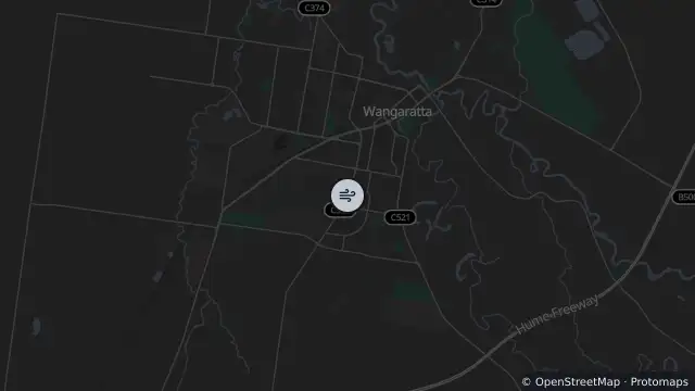
Map preview · about 20 KB · © OpenStreetMap
Updated (4 days ago)
Air quality: Good
Site type: Standard
Reporting period: 2026-10-21T18:00:00Z to 2026-10-21T19:00:00Z
PM2.5: 2.21 µg/m³
PM2.5 (1HR_AV), 2026-10-21T18:00:00Z to 2026-10-21T19:00:00Z: 2.2 µg/m³; Good
PM2.5 (24HR_AV), 2026-10-20T19:00:00Z to 2026-10-21T19:00:00Z: 1.9 µg/m³; Good
- Location
- -36.3693, 146.3133
- Source
- © Copyright State Government of Victoria — EPA Victoria (adapted)
OpenStreetMap Open on the full interactive mapVictoria warnings