Water quality forecast · Poor
Carrum Surf Life Saving Club
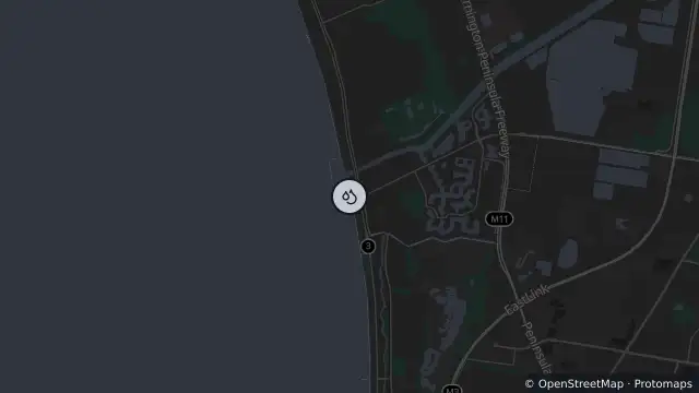
Map preview · about 20 KB · © OpenStreetMap
Updated (11 hr ago)
Water quality forecast: Poor
Recent or forecast rain. Stormwater pollution likely. Our forecasts inform the community about the likelihood of stormwater and other pollution that could make you sick. It is not designed to reflect the presence or absence of dead or sick birds, and risk from bird flu (H5N1). When at a beach, avoid direct contact if you find multiple sick or dead birds or animals and report them to Agriculture Victoria.
- Location
- -38.0764, 145.1206
- Source
- © Copyright State Government of Victoria — EPA Victoria (adapted)
OpenStreetMap Open on the full interactive mapVictoria warnings
Nearby
Water quality forecast3.0 km away
Tree down3.5 km away
Water quality forecast5.6 km away
Water quality forecast7.3 km away
Burn area7.5 km away
Water quality forecast7.9 km away
Water quality forecast8.2 km away