Monitoring station · Good
Air Quality — Campbelltown West
Sydney South-West
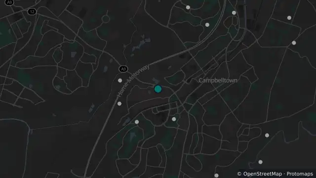
Map preview · about 20 KB · © OpenStreetMap
Updated (2 hr ago)
Air quality: GOOD
Reporting period: 2026-10-21 hour 21 AEST (hour ending)
Determining pollutant: PM2.5
Carbon monoxide (Hourly average): Data unavailable
Nephelometer (Hourly average): Data unavailable
Nitrogen Dioxide (Hourly average): Data unavailable
Ozone (Hourly average): Data unavailable
PM10 (Hourly average): Data unavailable
PM2.5 (Hourly average): Data unavailable
Sulphur Dioxide (Hourly average): Data unavailable
Recent observations are preliminary and may be revised by the provider
- Location
- -34.0667, 150.7956
- Source
- NSW Government — Climate and Atmospheric Science Branch, Department of Planning, Industry and Environment (DPIE) · Attribution
OpenStreetMapOpen on the full interactive mapNew South Wales warnings
Nearby
Scheduled roadwork1.2 km away
Scheduled Roadwork Maintenance — Hume Motorway Off-Ramps, Campbelltown
Monitoring station1.3 km away
Planned outage2.4 km away
Planned outage2.7 km away
Planned outage3.3 km away
Planned outage3.3 km away
Planned outage3.4 km away
Planned outage3.7 km away
Planned outage3.9 km away
Planned outage4.5 km away