
Life-threatening emergency? Call Triple Zero (000). · SES flood and storm help: 132 500

Updated · Reload· Auto-refresh every 5 min· Theme: Auto · Light · Dark

Monitoring station · Unavailable

Air Quality — Rr Pod2

Incident Monitoring
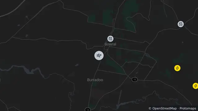
Map of Air Quality — Rr Pod2 and nearby items

Map preview · about 20 KB · © OpenStreetMap

No observations returned in the last six hours

Recent observations are preliminary and may be revised by the provider

Location
-34.4879, 150.4102
Source
NSW Government — Climate and Atmospheric Science Branch, Department of Planning, Industry and Environment (DPIE)  · Attribution

OpenStreetMap Open on the full interactive mapNew South Wales warnings

Nearby

  1. Planned outage989 m away

    Planned Power Outage — Bowral

    Details

  2. Planned outage4.3 km away

    Planned Power Outage — Bowral, Mittagong

    Details

  3. Planned outage4.3 km away

    Planned Power Outage — Burradoo

    Details

  4. Planned outage5.4 km away

    Planned Power Outage — Welby

    Details

  5. Planned outage5.5 km away

    Planned Power Outage — Mittagong

    Details

  6. Planned outage5.8 km away

    Planned Power Outage — Bowral, Mittagong

    Details

  7. Planned outage6.1 km away

    Planned Power Outage — Moss Vale

    Details

  8. Algal warning6.3 km away

    Algal Status Green — Wingecarribee River @ Berrima

    Details

  9. Planned outage6.9 km away

    Planned Power Outage — Moss Vale

    Details

  10. Planned outage7.1 km away

    Planned Power Outage — Glenquarry

    Details