Flooding
Dorisvale Road — Impassable
Dorisvale Road — Daly River Crossing
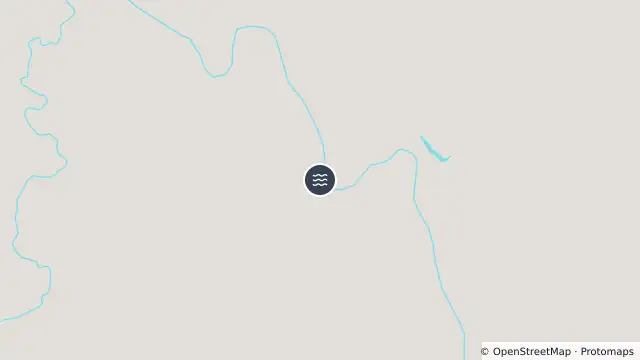
Map preview · about 20 KB · © OpenStreetMap
Updated (438 days ago)
Impassable
Flooding
Daly River Crossing
From: 2025-08-15 11:35:41 ACST
Updated: 2025-08-15 13:03:39 ACST
- Location
- -14.3634, 131.5554
- Source
- Data © Northern Territory Government. For current road conditions refer to Road Report NT.
OpenStreetMap Open on the full interactive mapNorthern Territory warnings