AdviceBushfire
Bushfire — Stuart Highway, Tablelands
Stuart Highway, Tablelands
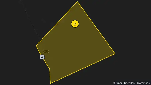
Map preview · about 20 KB · © OpenStreetMap
Fire · Roads
Published · Updated (2 days ago)
Incident type: Bushfire
Location: Stuart Highway, TABLELANDS
Status: Going
Alert level: Advice
Current situation: Monitoring
Risks: Active fire may occur close to the roadside; Smoke from this fire may affect visibility
What to do: Conditions may change, monitor conditions in your area; Stay informed until threat is reduced
Advice to the public:
The fire is located approximately 12 km south of Banka Banka West Station & Tourist Park, on the eastern side of the Stuart Highway. Drivers in the area are urged to slow down, turn on headlights and drive safely for the conditions. For further information regarding bushfires, visit Fire Incident Map - https://bushfires.nt.gov.au/incidentmap.Responsible agency: Bushfires NT
Notified: 24 Oct 2026, 10:58 am ACST
Last update: 24 Oct 2026, 11:30 am ACST
- Location
- -18.7037, 134.2753
- Source
- Data © Northern Territory Government (PFES) · Attribution
OpenStreetMap Open on the full interactive mapNorthern Territory warnings