Traffic camera
Woree - Ray Jones Drive & Rigg Street
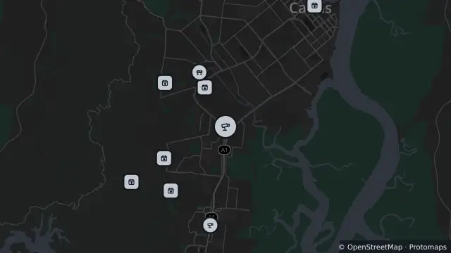
Map preview · about 20 KB · © OpenStreetMap
Roads · Power outages
Show camera image of Woree - Ray Jones Drive & Rigg Streetloads only when opened▾ Hide camera image
QLDTraffic · Still image; reload the page for a newer one

- Location
- -16.9538, 145.7474
- Source
- State of Queensland (Department of Transport and Main Roads) · Attribution
OpenStreetMap Open on the full interactive mapQueensland warnings
Nearby
Traffic camera231 m away
Planned outage456 m away
Planned outage466 m away
Planned outage496 m away
Planned outage731 m away
Planned outage760 m away
Planned outage916 m away
Scheduled roadwork1.4 km away
Traffic camera2.6 km away
White Rock - Bruce Highway & Murgatroyd Road Interchange - South
Planned outage2.6 km away