
Life-threatening emergency? Call Triple Zero (000). · SES flood and storm help: 132 500

Updated · Reload· Auto-refresh every 5 min· Theme: Auto · Light · Dark

Traffic camera

Bokarina - Nicklin Way & Main Drive Intersection - North
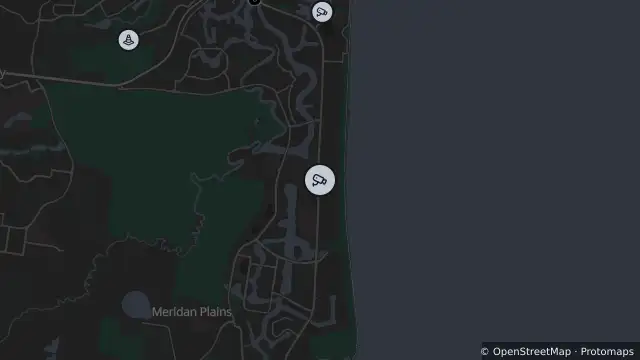
Map of Bokarina - Nicklin Way & Main Drive Intersection - North and nearby items

Map preview · about 20 KB · © OpenStreetMap

Camera: Traffic camera location

Direction: North

Location: Bokarina

View camera image

Location
-26.7308, 153.1295
Source
State of Queensland (Department of Transport and Main Roads)  · Attribution

OpenStreetMap Open on the full interactive mapQueensland warnings

Nearby

  1. Traffic camera2.9 km away

    Buddina - Nicklin Way & Lutana Street Intersection - South

    Details

  2. Traffic camera3.2 km away

    Wurtulla - Nicklin Way & Piringa Street Intersection - South

    Details

  3. Planned outage3.9 km away

    Planned Power Outage — Currimundi

    Details

  4. Scheduled roadwork3.9 km away

    Roadworks — Nicklin Way / Sunshine Motorway — Minyama / Mooloolaba

    Details

  5. Traffic camera4.1 km away

    Currimundi - Nicklin Way & Gannawarra Street - South

    Details

  6. Traffic camera4.8 km away

    Currimundi - Nicklin Way & Buderim Street Intersection - North

    Details

  7. Planned outage5.0 km away

    Planned Power Outage — Currimundi

    Details

  8. Traffic camera6.3 km away

    Buderim - Sunshine Motorway & Dixon Road Overpass - East

    Details

  9. Planned outage6.3 km away

    Planned Power Outage — Alexandra Headland, Mooloolaba

    Details

  10. Planned outage6.7 km away

    Planned Power Outage — Alexandra Headland

    Details