Road damage
Hazard — Mt Spec Road — Crystal Creek
Crystal Creek
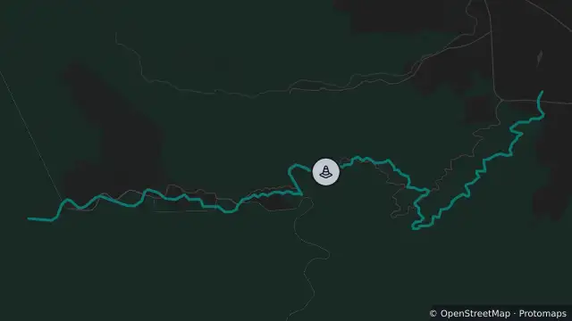
Map preview · about 20 KB · © OpenStreetMap
Updated (2 days ago)
Event: Hazard
Type: Road damage
Road: Mt Spec Road
Location: Crystal Creek
Description: Crystal Creek to Paluma
Impact: All lanes affected
Direction: Both directions
Delays: Long delays expected
Advice: Motorists are urged to show patience
Information: The restricted access permit system has now been lifted following a positive geotechnical safety assessment. While permits are no longer required for travel on Mount Spec Road, the daytime vehicle escort system will continue to operate on the hour every hour between 6am and 6pm. The Road will be closed between 6pm to 6am. The little Crystal Creek picnic area and carpark remain closed while reconstruction works are ongoing. The geometry of the road in conjunction with the ongoing works means the road is not suitable for all vehicles. The types of vehicles deemed suitable have not changed since the permit system was removed - if a vehicle was previously allowed, it remains suitable. As a guide:
· Vehicles with small trailers are suitable – for example, a dual cab 4WD towing a box trailer.
· Larger trailers are not suitable – including larger caravans and similar long or heavy trailer combinations.
- Location
- -19.0030, 146.2454
- Source
- Department of Transport and Main Roads · Attribution
OpenStreetMap Open on the full interactive mapQueensland warnings
Nearby
Scheduled roadwork7.5 km away