Road damage
Hazard — Sandy Creek Road — Grantham
Grantham
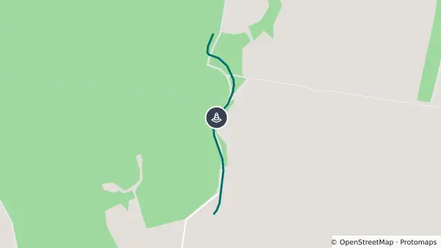
Map preview · about 20 KB · © OpenStreetMap
Updated (3 days ago)
Event: Hazard
Type: Road damage
Cause: Rough surface
Road: Sandy Creek Road
Location: Grantham
Description: Rough Surface - Observe Signage
Impact: All lanes affected
Direction: All directions
Delays: No delays expected
Advice: Observe signage
- Location
- -27.5311, 152.1860
- Source
- Lockyer Valley Regional Council · Attribution
OpenStreetMap Open on the full interactive mapQueensland warnings
Nearby
Flooding6.5 km away
Planned outage6.8 km away
Flooding8.4 km away
Flooding9.3 km away
Flooding — Winwill Connection Road — Lower Tenthill / Winwill
Traffic camera10.0 km away