Flooding
Flooding — Dawn Lane
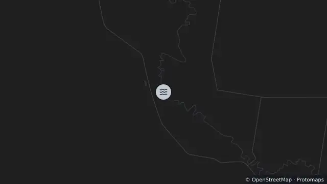
Map preview · about 20 KB · © OpenStreetMap
Updated (23 hr ago)
Event: Flooding
Type: Long-term flooding
Cause: Flooding of river
Road: Dawn Lane
Description: River water level rise has closed the road and bridge
Impact: Road closed to all traffic
Direction: Both directions
Delays: Delays expected
Advice: Use alternative route
- Location
- -28.1341, 151.8124
- Source
- Southern Downs Regional Council · Attribution
OpenStreetMap Open on the full interactive mapQueensland warnings
Nearby
Flooding4.4 km away
Flooding7.0 km away
Planned outage8.6 km away