Flooding
Flooding — Urandangi Border Road (Tobermorey Road) — Carrandotta
Carrandotta
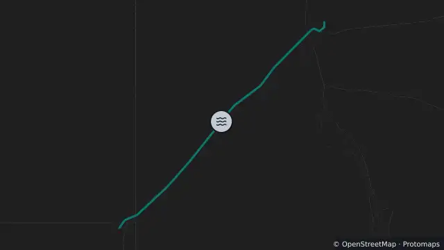
Map preview · about 20 KB · © OpenStreetMap
Updated (8 hr ago)
Event: Flooding
Type: Long-term flooding
Cause: Heavy rain
Road: Urandangi Border Road (Tobermorey Road)
Location: Carrandotta
Description: Urandangi Township, Piturie to NT Border
Impact: Road closed to all traffic
Direction: Both directions
Advice: Do not drive in flood waters
- Location
- -21.7553, 138.1579
- Source
- Department of Transport and Main Roads · Attribution
OpenStreetMap Open on the full interactive mapQueensland warnings