AdviceGrass fire · Under control
Sector 5, Sma
Range Rd, Whittingham 2330
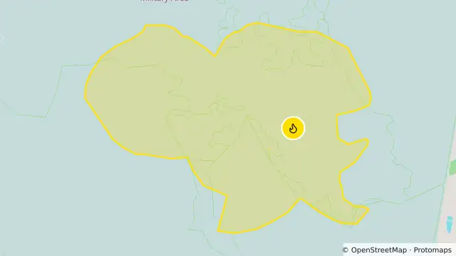
Map preview · about 20 KB · © OpenStreetMap
Published · Updated (9 hr ago)
ALERT LEVEL: Advice
LOCATION: RANGE RD, WHITTINGHAM 2330
COUNCIL AREA: Singleton
STATUS: Under control
TYPE: Grass Fire
FIRE: Yes
SIZE: 420 ha
RESPONSIBLE AGENCY: Rural Fire Service
UPDATED: 27 Oct 2026 16:57
LOCATION: RANGE RD, WHITTINGHAM 2330
COUNCIL AREA: Singleton
STATUS: Under control
TYPE: Grass Fire
FIRE: Yes
SIZE: 420 ha
RESPONSIBLE AGENCY: Rural Fire Service
UPDATED: 27 Oct 2026 16:57
- Location
- -32.7108, 151.2086
- Source
- Data © State of New South Wales (NSW Rural Fire Service). For current warnings always refer to www.rfs.nsw.gov.au.
OpenStreetMap Open on the full interactive mapNew South Wales warnings
Nearby
Planned outage7.9 km away
Planned outage8.1 km away