Road condition · 4wd
Mt Dare Rd - Hamilton Station To Oodnadatta — 4wd
Gawler Ranges Including Kingoonya And Iron Knob Areas
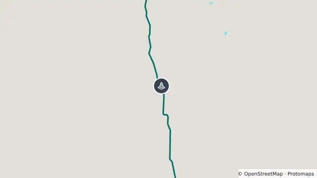
Map preview · about 20 KB · © OpenStreetMap
Condition: 4WD
Road section: Mt Dare Rd - Hamilton Station to Oodnadatta
Road number: 10009
Extent: 159 to 239.43 km
Area: Gawler Ranges including Kingoonya and Iron Knob areas
Comments: Caution at corrugation, and areas with rough road surface. Slow down at all creek crossings and floodways. Note: bypass at Fogertys claypan approximately 40km from Oodnadatta Track intersection.
- Location
- -27.0847, 135.2626
- Source
- Data © Government of South Australia (Department for Infrastructure and Transport). Refer to traffic.sa.gov.au for current conditions. · Attribution
OpenStreetMap Open on the full interactive mapSouth Australia warnings