Road condition · Closed
Strzelecki Track - Della/Dullingari Rd Junction To Moomba — Closed
Flinders And Gammon Ranges Including North And South Of Barrier Highway
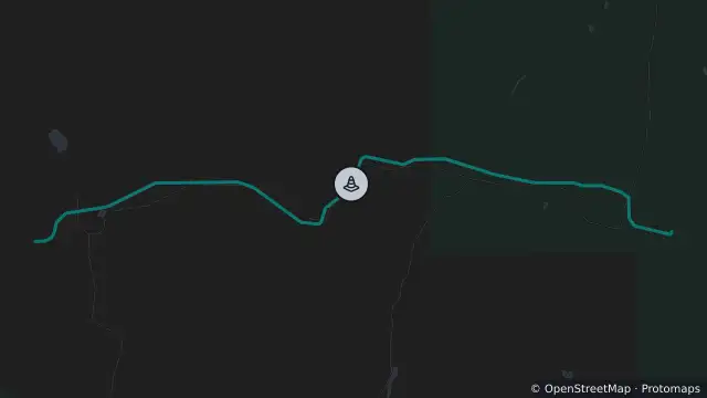
Map preview · about 20 KB · © OpenStreetMap
Condition: Closed
Road section: Strzelecki Track - Della/Dullingari Rd junction to Moomba
Road number: 12000
Extent: 47.8 to 103.71 km
Area: Flinders and Gammon Ranges including north and south of Barrier Highway
Comments: No access west towards Moomba (Della Rd) due to flooding and severe damage. No services at Moomba. It is necessary to make alternative travel plans for the foreseeable future.
- Location
- -28.0953, 140.4510
- Source
- Data © Government of South Australia (Department for Infrastructure and Transport). Refer to traffic.sa.gov.au for current conditions. · Attribution
OpenStreetMap Open on the full interactive mapSouth Australia warnings