Road condition · 4wd
Oodnadatta Track - William Creek To Bopeechee — 4wd
Gawler Ranges Including Kingoonya And Iron Knob Areas
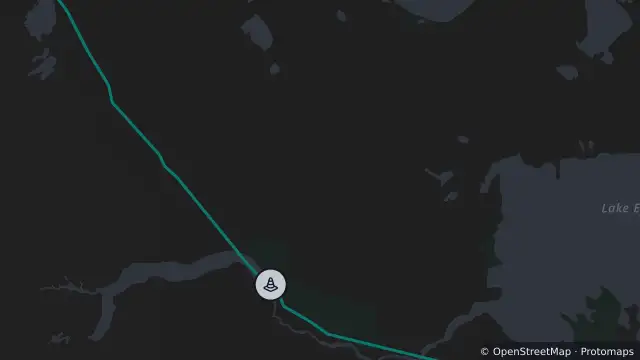
Map preview · about 20 KB · © OpenStreetMap
Condition: 4WD
Road section: Oodnadatta Track - William Creek to Bopeechee
Road number: 13000
Extent: 408.61 to 544.63 km
Area: Gawler Ranges including Kingoonya and Iron Knob areas
Comments: Caution at creek crossings and floodways. Some crossings are rough and uneven, with severe dips and water over the road in places. Slow down and drive to conditions. Towing is permitted.
- Location
- -29.3755, 136.7904
- Source
- Data © Government of South Australia (Department for Infrastructure and Transport). Refer to traffic.sa.gov.au for current conditions. · Attribution
OpenStreetMap Open on the full interactive mapSouth Australia warnings