
Life-threatening emergency? Call Triple Zero (000). · SES flood and storm help: 132 500

Updated · Reload· Auto-refresh every 5 min· Theme: Auto · Light · Dark

Drone surveillance

Drone Surveillance Location — Umina

Umina, Umina
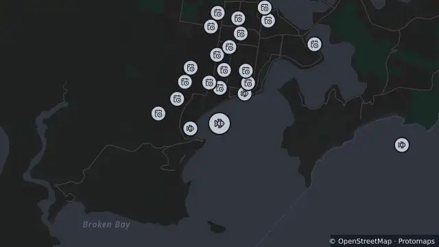
Map of Drone Surveillance Location — Umina and nearby items

Map preview · about 20 KB · © OpenStreetMap

SharkSmart · Power outages

Drone surveillance location — Umina

Source notification history (dates as supplied by SharkSmart)

Drone Location — 2026-10-26T03:08:36.803Z
Drones operate from this location

Location
-33.5310, 151.3189
Source
Data © State of NSW (SharkSmart). Refer to SharkSmart for current information. 

OpenStreetMap Open on the full interactive mapNew South Wales warnings

Nearby

  1. Shark net687 m away

    Shark Net Location — Umina Beach

    Details

  2. Planned outage819 m away

    Planned Power Outage — Umina Beach

    Details

  3. Planned outage862 m away

    Planned Power Outage — Umina Beach

    Details

  4. Drone surveillance905 m away

    Drone Surveillance Location — Ocean Beach

    Details

  5. Planned outage971 m away

    Planned Power Outage — Umina Beach

    Details

  6. Planned outage1.1 km away

    Planned Power Outage — Umina Beach

    Details

  7. Planned outage1.1 km away

    Planned Power Outage — Ettalong Beach, Umina Beach

    Details

  8. Planned outage1.1 km away

    Planned Power Outage — Umina Beach

    Details

  9. Planned outage1.1 km away

    Planned Power Outage — Umina Beach

    Details

  10. Planned outage1.2 km away

    Planned Power Outage — Umina Beach

    Details