Drone surveillance
Drone Surveillance Location — Coledale
Coledale, Coledale
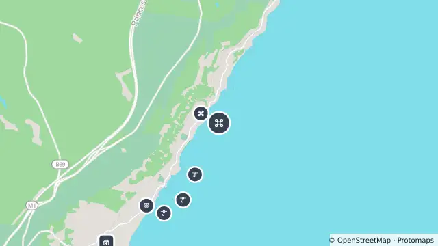
Map preview · about 20 KB · © OpenStreetMap
SharkSmart · Power outages · Roads
Drone surveillance location — Coledale
Source notification history (dates as supplied by SharkSmart)
Drone Location — 2026-10-26T02:22:19.385Z
Drones operate from this location
- Location
- -34.2896, 150.9533
- Source
- Data © State of NSW (SharkSmart). Refer to SharkSmart for current information.
OpenStreetMap Open on the full interactive mapNew South Wales warnings
Nearby
Smart drumline0 m away
Drone surveillance472 m away
Shark net472 m away
Smart drumline1.3 km away
Smart drumline2.0 km away
Planned outage2.1 km away
Smart drumline2.4 km away
Shark net2.5 km away
Scheduled roadwork2.6 km away
Planned outage3.0 km away