Burn area
Burnt Area — Ranelagh
Ranelagh
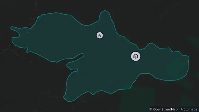
Map preview · about 20 KB · © OpenStreetMap
Burn areas · Fire
Published · Updated (5 hr ago)
Record type: Mapped burnt area; does not indicate an active fire
Incident: Bushfire
Incident number: 042685-21102026
Incident status: Not Under Control
Address: FLETCHERS HILL, RANELAGH, 7109
Burnt area: 303.1 ha
Updated: 27 Oct 2026, 9:14 pm AEDT
- Location
- -42.9725, 146.9948
- Source
- © Tasmanian Government. Source: TasALERT (alert.tas.gov.au). · Attribution
OpenStreetMap Open on the full interactive mapTasmania warnings
Nearby
Bushfire820 m away
Burn area8.6 km away
Planned burn8.6 km away