
Life-threatening emergency? Call Triple Zero (000). · SES flood and storm help: 132 500

Updated · Reload· Auto-refresh every 5 min· Theme: Auto · Light · Dark

Traffic camera

Cumberland Highway (Merrylands)

Merrylands
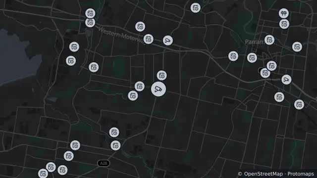
Map of Cumberland Highway (Merrylands) and nearby items

Map preview · about 20 KB · © OpenStreetMap

Roads · Power outages

 Show camera image of Cumberland Highway (Merrylands)loads only when opened▾ Hide camera image

Transport for NSW · Still image; reload the page for a newer one

Cumberland Highway at Merrylands Road looking north towards the M4 Western Motorway.

Facing: east

Location
-33.8303, 150.9604
Source
Data © Transport for NSW (Live Traffic NSW). 

OpenStreetMap Open on the full interactive mapNew South Wales warnings

Nearby

  1. Planned outage447 m away

    Planned Power Outage — Greystanes

    Details

  2. Planned outage507 m away

    Planned Power Outage — Greystanes

    Details

  3. Planned outage613 m away

    Planned Power Outage — Greystanes

    Details

  4. Planned outage846 m away

    Planned Power Outage — Greystanes

    Details

  5. Planned outage1.0 km away

    Planned Power Outage — Greystanes, Smithfield

    Details

  6. Traffic camera1.6 km away

    M4 Western Motorway (South Wentworthville)

    Details

  7. Planned outage2.1 km away

    Planned Power Outage — Greystanes

    Details

  8. Planned outage2.2 km away

    Planned Power Outage — Greystanes

    Details

  9. Planned outage2.3 km away

    Planned Power Outage — Smithfield

    Details

  10. Planned outage2.6 km away

    Planned Power Outage — Mays Hill

    Details