Hazard
Hazard Landslide — Toose Road, Bellbrook
Toose Road Approximately 6km From Armidale Road Intersection, Bellbrook
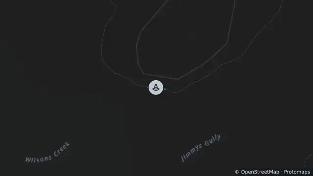
Map preview · about 20 KB · © OpenStreetMap
Published · Updated (5 days ago)
Road closed at landslip approximately 6km from Armidale Road and 3.4km from Balls Road.
Diversions: <p>Dry weather 4WD access via Fifes Creek Road.</p><p>Access to Toose Road is available via Towal Creek Road (off Armidale Road), over a natural shingle ford crossing on the Macleay River, into Towal Creek Station.</p><p>This can be used during low river flow / dry periods only. 4x4 will be required in this location.</p><p><br></p><p>Strictly for impacted residents and essential travelers only.</p>
- Location
- -30.8279, 152.4539
- Source
- Data © Transport for NSW (Live Traffic NSW).
OpenStreetMap Open on the full interactive mapNew South Wales warnings
Nearby
Scheduled roadwork5.4 km away