Changed traffic conditions
Changed Traffic Conditions Load Limit — Gabulah Road, Gresford
Gabulah Road Near Church Street, Gresford
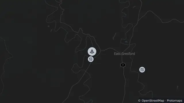
Map preview · about 20 KB · © OpenStreetMap
Roads · Power outages
Published · Updated (31 days ago)
Gresford Suspension Bridge is open to vehicle traffic with a load limit of 3 tonne. Only one vehicle at any one time to use the bridge and a maximum speed limit of 15km/hr.
Alternate natural gravel river crossing is available but is subject to changing river conditions.
- Location
- -32.4276, 151.5312
- Source
- Data © Transport for NSW (Live Traffic NSW).
OpenStreetMap Open on the full interactive mapNew South Wales warnings
Nearby
Scheduled roadwork5 m away
Planned outage274 m away
Planned outage2.8 km away
Planned outage6.8 km away
Hazard8.8 km away