Hazard
Hazard Road Damage — Gravesend Road, Gravesend
Gravesend Road, Gravesend
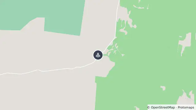
Map preview · about 20 KB · © OpenStreetMap
Published · Updated (21 hr ago)
Causeway damage on northbound lane. Causeway is reduced to one lane only. Load limit is now reduced to 4.5T on this road.
Individuals residing west of the causeway are authorized to transport their goods via Terry Hie Hie Road. Conversely, those residing north of the causeway are permitted to freight their goods via Gwydir Highway.
- Location
- -29.7919, 150.2399
- Source
- Data © Transport for NSW (Live Traffic NSW).
OpenStreetMap Open on the full interactive mapNew South Wales warnings