Scheduled roadwork
Scheduled Roadwork Bridge Work — Gabulah Road, Gresford
Gabulah Road, Gresford
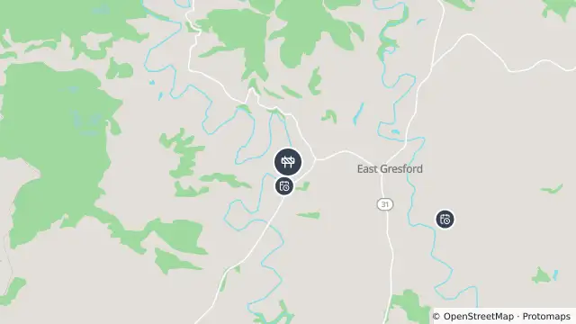
Map preview · about 20 KB · © OpenStreetMap
Roads · Power outages
Published · Updated (1 day ago)
Dungog Shire Council is delivering a new crossing over the Paterson River on Gabulah Road, Gresford NSW - Traffic Control will be in place for the duration of this project. The new bridge is anticipated to take 12 months, meaning project works should be completed by mid 2027 (subject to weather conditions).
- Location
- -32.4276, 151.5312
- Source
- Data © Transport for NSW (Live Traffic NSW).
OpenStreetMap Open on the full interactive mapNew South Wales warnings
Nearby
Changed traffic conditions5 m away
Changed Traffic Conditions Load Limit — Gabulah Road, Gresford
Planned outage277 m away
Planned outage2.8 km away
Planned outage6.8 km away
Hazard8.8 km away