Scheduled roadwork
Scheduled Roadwork Bridge Work — Browns Crossing Road, Warrell Creek
Browns Crossing Road, Warrell Creek
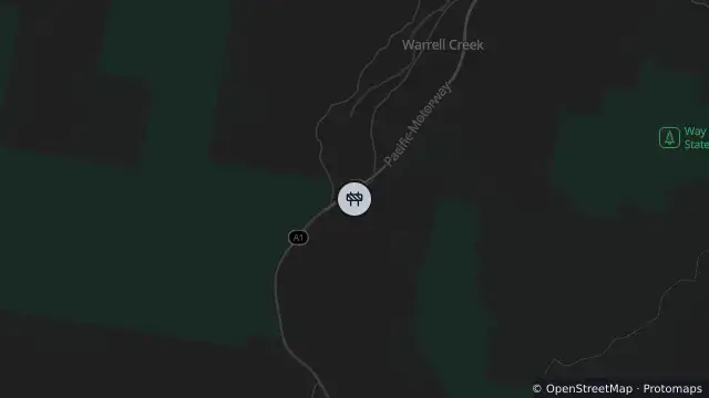
Map preview · about 20 KB · © OpenStreetMap
Published · Updated (70 days ago)
1. Browns Crossing Number One – Browns Crossing Road, Warrell Creek
- Closure begins: 3 August
Please note that Browns Crossing Road will only be closed at the bridge work sites to allow for bridge replacement and associated road reconstruction works. All other sections of both road will remain open.
Council appreciates your co-operation to deliver these investigations and to exercise caution whilst travelling through the work zones.
For More information contact Nambucca Valley Council on 02 6568 2555
- Location
- -30.7887, 152.8837
- Source
- Data © Transport for NSW (Live Traffic NSW).
OpenStreetMap Open on the full interactive mapNew South Wales warnings
Nearby
Planned outage4.1 km away
Planned outage4.3 km away
Planned outage5.9 km away
Planned outage6.8 km away
Planned outage9.0 km away
Scheduled roadwork9.9 km away
Scheduled Roadwork Bridge Work — Giinagay Way, North Macksville