Scheduled roadwork
Scheduled Roadwork — Durham St, Clarence Town
Durham St At Duke Street, Clarence Town
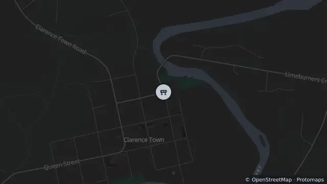
Map preview · about 20 KB · © OpenStreetMap
Published · Updated (66 days ago)
From Monday 10 August, Durham Street at the Duke Street intersection will permanently close as part of the next stage of the Clarence Town Bridge Project.
This is a permanent road change endorsed by Council following community consultation, and is designed to improve safety for motorists, pedestrians and visitors using the new bridge and the Williams River Holiday Park.
The project includes:
• A new cul-de-sac on Durham Street
• Improved pedestrian footpath connections
• Safer access through the town centre
Motorists should use Grey Street to access Duke Street.
Temporary traffic changes will be in place on Duke Street during construction, including the relocation of the temporary traffic lights that allow motorists to cross the Clarence Town Bridge.
- Location
- -32.5833, 151.7821
- Source
- Data © Transport for NSW (Live Traffic NSW).
OpenStreetMap Open on the full interactive mapNew South Wales warnings
Nearby
Scheduled roadwork11 m away
Planned outage2.0 km away
Planned outage9.0 km away
Changed traffic conditions9.0 km away
Changed Traffic Conditions Load Limit — Glen Martin Road, Glen William