Scheduled roadwork
Scheduled Roadwork — The Pocket Road, The Pocket
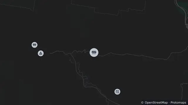
The Pocket Road Between Sherringtons Lane And Main Arm Road, The Pocket
Map preview · about 20 KB · © OpenStreetMap
Roads · Power outages
Published · Updated (47 days ago)
The Pocket Road closed for two months for culvert repairs. Properties approx 1.5km west of Sherringtons Lane will need to detour via Main Arm Road for around two months (weather permitting).
- Location
- -28.5031, 153.4494
- Source
- Data © Transport for NSW (Live Traffic NSW).
OpenStreetMap Open on the full interactive mapNew South Wales warnings
Nearby
Planned outage2.2 km away
Hazard3.0 km away
Scheduled roadwork3.4 km away
Planned outage3.6 km away
Planned outage3.6 km away
Planned outage3.7 km away
Planned outage3.9 km away
Planned outage5.3 km away
Planned outage5.9 km away
Scheduled roadwork6.4 km away
Scheduled Roadwork — Upper Wilsons Creek Road, Upper Wilsons Creek