Scheduled roadwork
Scheduled Roadwork — Vista Parade, Bateau Bay
Vista Parade Between Rays Road And Mermaid Dr, Bateau Bay
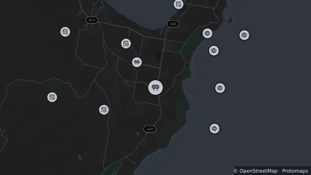
Map preview · about 20 KB · © OpenStreetMap
Roads · SharkSmart · Power outages
Published · Updated (2 days ago)
Local residents will be allowed access. Traffic controllers will be on site to direct motorists. Alternating (stop/slow) traffic conditions will be in place to allow motorists to pass in one direction at a time.
- Location
- -33.3860, 151.4716
- Source
- Data © Transport for NSW (Live Traffic NSW).
OpenStreetMap Open on the full interactive mapNew South Wales warnings
Nearby
Scheduled roadwork1.0 km away
Smart drumline1.7 km away
Smart drumline2.1 km away
Smart drumline2.3 km away
Smart drumline2.4 km away
Drone surveillance2.5 km away
Shark net2.5 km away
Planned outage2.8 km away
Planned outage2.9 km away
Planned outage3.1 km away