Scheduled roadwork
Scheduled Roadwork Intersection Upgrade — Beach Road, Batehaven
Beach Road At Corrigan Crescent, Batehaven
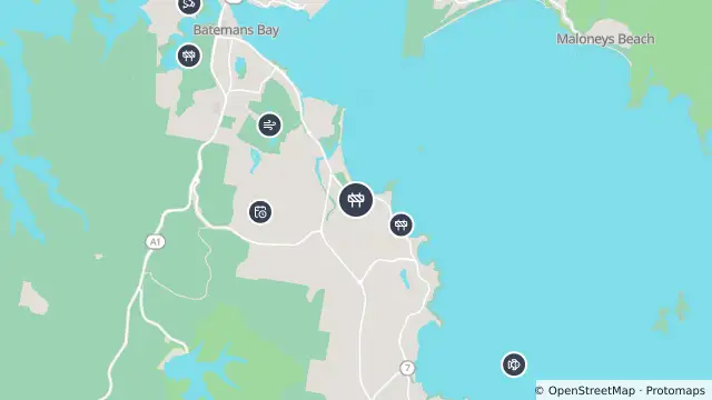
Map preview · about 20 KB · © OpenStreetMap
Roads · Power outages · SharkSmart
Published · Updated (8 days ago)
Council is making changes to the Corrigan Crescent intersection to improve safety.
Traffic control is in place allowing vehicles through the site one direction at a time.
Please allow an extra 5 minutes travel time.
- Location
- -35.7328, 150.2005
- Source
- Data © Transport for NSW (Live Traffic NSW).
OpenStreetMap Open on the full interactive mapNew South Wales warnings
Nearby
Scheduled roadwork720 m away
Planned outage856 m away
Monitoring station1.6 km away
Scheduled roadwork3.1 km away
Scheduled Roadwork Resurfacing — Princes Highway, Batemans Bay
Smart drumline3.2 km away
Traffic camera3.6 km away
Smart drumline3.7 km away
Smart drumline4.2 km away
Planned outage4.5 km away
Smart drumline5.0 km away