Flooding
Flooding — Winegrove Road, Lilydale
Winegrove Road, Lilydale
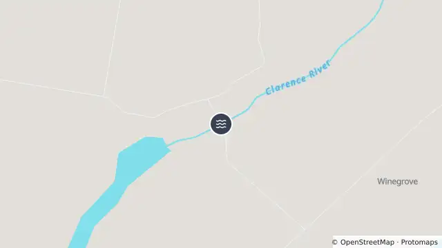
Map preview · about 20 KB · © OpenStreetMap
Published · Updated (3 days ago)
Winegrove Road is currently closed due to flooding at Lilydale Bridge.
- Location
- -29.5448, 152.6714
- Source
- Data © Transport for NSW (Live Traffic NSW).
OpenStreetMap Open on the full interactive mapNew South Wales warnings