Flooding
Flooding — Mcphersons Crossing Road, Coutts Crossing
Mcphersons Crossing Road At Orara River, Coutts Crossing
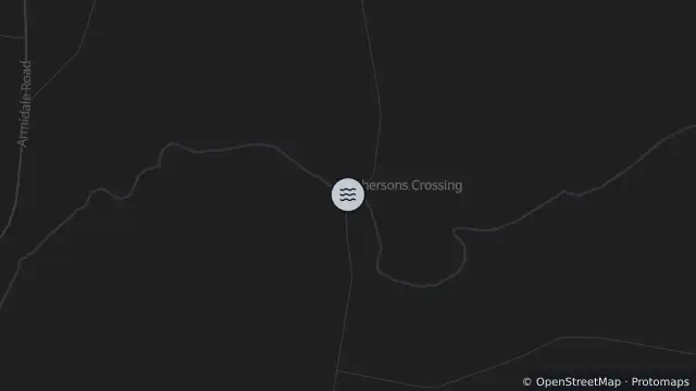
Map preview · about 20 KB · © OpenStreetMap
Published · Updated (4 days ago)
McPhersons Crossing Road is currently closed due to flooding at the Orara River.
- Location
- -29.8154, 152.9153
- Source
- Data © Transport for NSW (Live Traffic NSW).
OpenStreetMap Open on the full interactive mapNew South Wales warnings
Nearby
Adverse weather6.2 km away
Planned outage8.4 km away
Planned outage8.6 km away
Planned outage8.9 km away
Planned outage9.5 km away