Scheduled roadwork
Scheduled Roadwork — Canterbury Road, Belmore
Canterbury Road Between Sharp Street And Bexley Road, Belmore
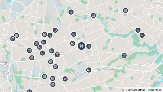
Map preview · about 20 KB · © OpenStreetMap
Roads · Power outages
Published · Updated (6 days ago)
Alternating (stop/slow) traffic conditions will be in place to allow motorists to pass in one direction at a time.
Traffic lights in the area may be blacked out or flashing yellow.
- Location
- -33.9222, 151.0949
- Source
- Data © Transport for NSW (Live Traffic NSW).
OpenStreetMap Open on the full interactive mapNew South Wales warnings
Nearby
Planned outage0 m away
Planned outage343 m away
Planned outage864 m away
Planned outage1.5 km away
Planned outage1.6 km away
Planned outage1.7 km away
Planned outage1.7 km away
Planned outage1.9 km away
Planned outage1.9 km away
Planned outage2.0 km away