Burn area
Burn Area — Newmerella - Mclaughlins Rd
Newmerella - Mclaughlins Rd
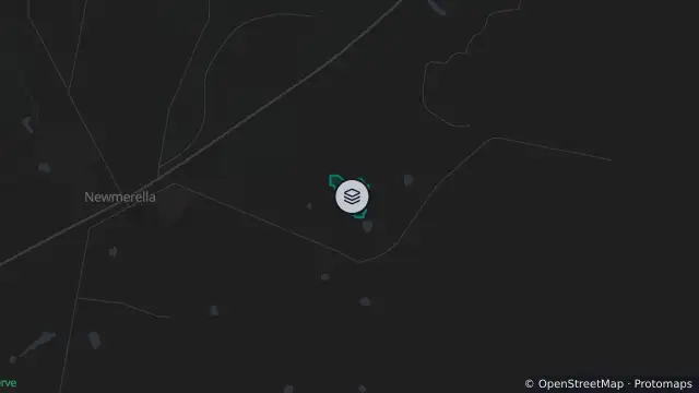
Map preview · about 20 KB · © OpenStreetMap
Published · Updated (28 days ago)
Record type: Burn area footprint; does not indicate an active fire
Incident type: Burn Area
Location: Newmerella - Mclaughlins Rd
Status: Unknown
Agency: VIC/DELWP
Issued: 30 Sep 2026, 10:00 am AEST
Updated: 30 Sep 2026, 10:00 am AEST
- Location
- -37.7356, 148.4421
- Source
- Data © State of Victoria (VicEmergency) · Attribution
OpenStreetMap Open on the full interactive mapVictoria warnings
Nearby
Monitoring station3.5 km away
Strong wind7.6 km away
Strong Wind Warning — Central Gippsland Coast And East Gippsland Coast