Scheduled roadwork
Albany Hwy, Shire Of Kojonup - Line Marking
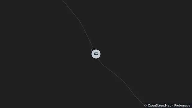
Map preview · about 20 KB · © OpenStreetMap
Works: Albany Hwy, Shire of Kojonup - Line Marking
Work type: Maintenance
Traffic impact: Mobile site - exercise extreme caution - expect delays
Starts (AWST): 26/10/2026 06:00:00
Estimated completion (AWST): 06/11/2026 18:00:00
- Location
- -33.9833, 117.2192
- Source
- The Commissioner of Main Roads is the creator and owner of the data and Licenced Material, which is accessed pursuant to a Creative Commons (Attribution) Licence, which has a disclaimer of warranties and limitation of liability. CC BY 4.0. Adapted to canonical Items.
OpenStreetMap Open on the full interactive mapWestern Australia warnings
Nearby
Scheduled roadwork119 m away
Planned outage3.5 km away