
Life-threatening emergency? Call Triple Zero (000). · SES flood and storm help: 132 500

Updated · Reload· Auto-refresh every 5 min· Theme: Auto · Light · Dark

Algal warning · Green

Algal Status Green — Hume Dam At Dam Wall

Hume Dam At Dam Wall
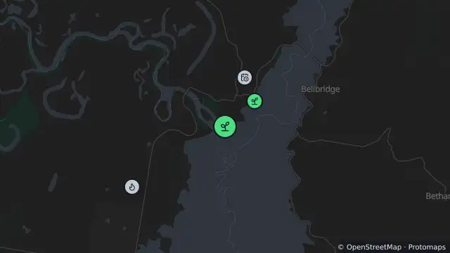
Map of Algal Status Green — Hume Dam At Dam Wall and nearby items

Map preview · about 20 KB · © OpenStreetMap

Algal blooms · Power outages · Fire

WaterNSW algal status: Green

Source reading date: 2026-10-05T21:45:00.000Z

Water uses: Recreation, stock, domestic, irrigation, potable

Dominant toxic species: Microcystis sp.

Location
-36.1076, 147.0340
Source
Data © WaterNSW. Refer to WaterNSW for current algal alerts. 

OpenStreetMap Open on the full interactive mapNew South Wales warnings

Nearby

  1. Planned outage415 m away

    Planned Power Outage — Incd-43992-W

    Details

  2. Algal warning855 m away

    Algal Status Green — Hume Dam Lake Hume Resort

    Details

  3. Planned burn2.4 km away

    Bonegilla - Bonegilla Road — 2.5km N Of Bonegilla

    Details

  4. Planned outage3.9 km away

    Planned Power Outage — Incd-43767-W

    Details

  5. Algal warning4.6 km away

    Algal Status Green — Hume Dam At Ebden

    Details

  6. Planned outage5.0 km away

    Planned Power Outage — Incd-43698-W

    Details

  7. Planned outage7.5 km away

    Planned Power Outage — Incd-43628-W

    Details

  8. Scheduled roadwork8.3 km away

    Scheduled Roadwork — Hopwood Road, Wirlinga

    Details

  9. Planned outage8.5 km away

    Planned Power Outage — Incd-43970-W

    Details

  10. Planned outage8.7 km away

    Planned Power Outage — Incd-43882-W

    Details