Algal warning · Amber
Algal Status Amber — Darling River At North Bourke Bridge (Boat Ramp)
Darling River At North Bourke Bridge (Boat Ramp)
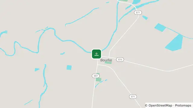
Map preview · about 20 KB · © OpenStreetMap
Algal blooms · Weather
WaterNSW algal status: Amber
Source reading date: 2026-09-22T03:33:00.000Z
Water uses: Recreation, stock, domestic, irrigation
- Location
- -30.0878, 145.9364
- Source
- Data © WaterNSW. Refer to WaterNSW for current algal alerts.
OpenStreetMap Open on the full interactive mapNew South Wales warnings
Nearby
Adverse weather3.7 km away
Adverse weather4.1 km away
Adverse weather5.5 km away
Monitoring station5.9 km away