Dam storage
Toonumbar Dam
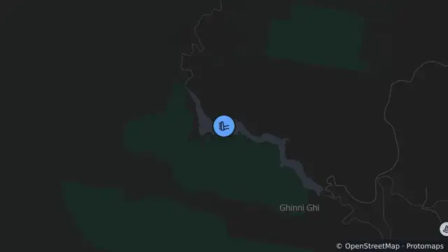
Map preview · about 20 KB · © OpenStreetMap
Dams · Roads
Maximum accessible capacity: 10,814 ML
Reporting month: October 2026 (monthly values; not a measurement timestamp)
Accessible storage: 10,896 ML
Percentage full: 100.76%
Monthly inflow: 323 ML
Monthly release: 349 ML
- Location
- -28.6024, 152.7638
- Source
- Data © WaterNSW. Monthly water storage, inflow and release values.
OpenStreetMap Open on the full interactive mapNew South Wales warnings
Nearby
Hazard5.9 km away