
Life-threatening emergency? Call Triple Zero (000). · SES flood and storm help: 132 500

Updated · Reload· Auto-refresh every 5 min· Theme: Auto · Light · Dark

Dam storage

Woronora Dam
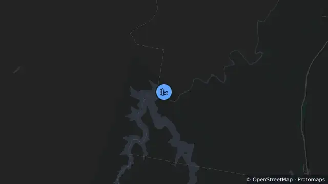
Map of Woronora Dam and nearby items

Map preview · about 20 KB · © OpenStreetMap

Maximum accessible capacity: 69,536 ML

Reporting month: October 2026 (monthly values; not a measurement timestamp)

Accessible storage: 62,706 ML

Percentage full: 90.18%

Monthly inflow: 0 ML

Monthly release: 0 ML

Location
-34.1093, 150.9365
Source
Data © WaterNSW. Monthly water storage, inflow and release values. 

OpenStreetMap Open on the full interactive mapNew South Wales warnings

Nearby

  1. Planned outage5.2 km away

    Planned Power Outage — Waterfall

    Details

  2. Planned outage5.8 km away

    Planned Power Outage — Heathcote

    Details

  3. Planned outage5.8 km away

    Planned Power Outage — Heathcote

    Details

  4. Planned outage5.9 km away

    Planned Power Outage — Heathcote

    Details

  5. Planned outage5.9 km away

    Planned Power Outage — Heathcote

    Details

  6. Planned outage5.9 km away

    Planned Power Outage — Heathcote

    Details

  7. Planned outage6.0 km away

    Planned Power Outage — Heathcote

    Details

  8. Planned outage6.8 km away

    Planned Power Outage — Heathcote

    Details

  9. Scheduled roadwork7.2 km away

    Scheduled Roadwork — Heathcote Road, Heathcote

    Details

  10. Planned outage8.4 km away

    Planned Power Outage — Engadine

    Details